Master Index Nearest Caches N48 W3 : La Limace by njda78 (2/3)
N48° 00.000 W3° 00.000 (WGS84) UTM 30U E 500000 N 5316300 Use waypoint: GC17WB2 Size:  Regular Hidden on 25-12-2007 Regular Hidden on 25-12-2007
In Morbihan Bretagne, France Difficulty:  Terrain: Terrain: 
*No attributes specified* Add cache to watch list Log your visit Picture Gallery |
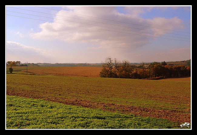
Situé dans le département du Morbihan ŕ 8 Kms au Sud-Ouest de Pontivy, au bord d’un champ, cette cache se trouve ŕ 50m au Nord-Est de la confluence N48 W3.
Les coordonnées réelles de la cache sont N 48°00.016 / W 3°00.005 car les coordonnées exactes de la confluence vous mčneraient au milieu du champ. La cache se trouve donc non loin. Si vous le souhaitez, veuillez prendre des photos de la confluence et les afficher sur le site web de "Degré de confluence" et surtout visitez celui de la page de ce point.
La solution pour accéder ŕ la cache est de passer par derričre. Garez votre véhicule ŕ l'écluse en bas de la route , et continuez ŕ pied sur le halage jusque N 48° 00.071 W 003° 00.074, ensuite remontez par les bois jusque la cache, il faut faire un peu d'escalade… et il y a quelques ronces!!! Mais c'est faisable...Je déconseille de traverser le champ car l'agriculteur ne sera pas content!!!


Situated in the department of Morbihan in 8 km in the Southwest of Pontivy, at the edge of a field, this hiding place is in 50m in the Northeast of the confluence N48 W3.
The real coordinates of the hiding place are N 48°00.016 / W 3°00.005 because the exact coordinates of the confluence would lead you in the middle of the field. The hiding place is thus not far. If you wish it, please take photos of the confluence and post(show) them on the Web site of the “Degree Confluence Project” and especially visit page of this point.
The solution to reach the hiding place is to pass from behind. Park your car has the lock at the bottom of the road, and continue on foot on the towing at N 48° 00.071 W 003° 00.074, then go back up by wood to the hiding place, it is necessary to make a little of escalation and he it of the brambles!!! I disadvise to cross the field because the farmer will not be satisfied!!!

Consultez le site Geocaching en France
 ... Merci pour la cache.