Master Index Nearest Caches Between Benoit and Wrac'h by Garenkreiz and family (1,5/2)
N48° 35.586 W4° 36.798 (WGS84) UTM 30U E 381043 N 5383481 Use waypoint: GCA062 Size:  Regular Hidden on 21-08-2002 Regular Hidden on 21-08-2002
In Finistčre Bretagne, France  (This cache may contain travel bugs) (This cache may contain travel bugs)
Original Stash Geocoin (ref = TB10JWX) Team Nimoks Fruehstuecks-Coin (ref = TB24FPT) Difficulty:  Terrain: Terrain: 
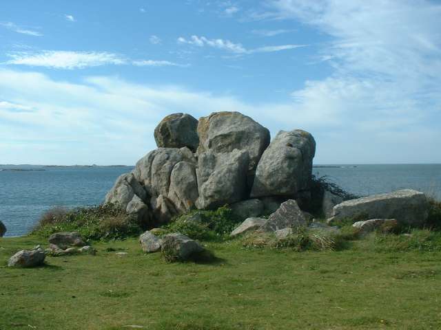
*No attributes specified* Add cache to watch list Log your visit Picture Gallery |
|
 |
Additional Waypoints
PAA062 - PanoramaN 48° 36.355 W 004° 35.924
Nice panoramic view on the Aber Wrac'h entrance Belle vue panoramique sur l'entrée de l'Aber Wrac'h
Additional Waypoints (1)
| Code | Name | Type | Links | Comments | Date | Coordinates | Distance |
| PAA062 | Panorama | Reference Point | Google Maps | Nice panoramic view on the Aber Wrac'h entrance Belle vue panoramique sur l'entrée de l'Aber Wrac'h | 14-10-2009 | N 48° 36.355 W 4° 35.924 | 1,78 kms NE |
Current at 24-06-2010
![]() 02-06-2010 by Team MiTiKa
02-06-2010 by Team MiTiKa
#12 during our holiday in brittany
The final of our caching tour around Sainte Marguerite. A very beautiful little isle! 
TFTC,
Team MiTiKa & Samba
No trade
![]() 30-05-2010 by pepe!
30-05-2010 by pepe!
i started my geocaching-career with this cache.
i'm on vacation at "camping des abers" at the moment, so it wasn't such a long trip :)
thanks for the cache.
merci pour la cache.
![]() 24-05-2010 by BiMi5966
24-05-2010 by BiMi5966
Fantastic landscape, especially in the evening - but a lot of muggles around the cache. We have to come back after a first trial, but then we were successful.
TFTC!
![]() 13-05-2010 by murmeltier
13-05-2010 by murmeltier
This one was the first cache for today. Because of the low tide at 12:03 we had to modify our tour today. Nice place. The cache was standing in free sight. We hided it a bit better concerning to the picture in the spoiler.
Thanks for this cache.
Reiner and Jutta aka murmeltier
in: murmeln by murmeltier # 986
![]() 09-08-2009 by kehre26
09-08-2009 by kehre26
Rückwirkend wandert der Schrittzähler in alle von uns gemachten Caches rein und wieder raus, Danke!
Nearby Caches
GC26YTB La Chapelle de Broennou (1,44 kms SE)
GC26YWK Landeda Sainte Marguerite ( cache1 ) (1,93 kms E)
GC26YVN Landeda Sainte Marguerite ( cache 3 ) (1,97 kms NE)
GC26YVA Landeda Sainte Marguerite ( cache 4 ) (1,97 kms NE)
GC26YW2 Landeda Sainte Marguerite ( cache 2 ) (2,13 kms NE)
Hints (Back)
Look at the picture.
Regardez la photo.